
English, 08.09.2021 17:30 ahmedeldyame
Read the text Navigational Instruments: The Quadrant and answer the question.
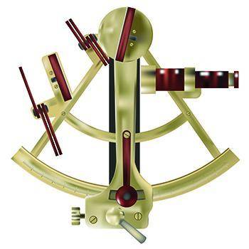
The quadrant is a tool that was first invented by the Greeks around the time of 240 BCE. Its name comes from the shape of the tool. It is one fourth of a whole circle, and quad means four. When this tool was originally built, it had many purposes. First, astronomers used it to determine the height of stars above the horizon. Second, land surveyors used it to measure the height of manmade creations like buildings and landforms such as mountains. Third, soldiers used the quadrant to aim weapons with accuracy.
As years passed, sailors found use for the quadrant, too. By the 16th century, sailors needed a better way to navigate their ships. In the past, they used key landmarks to find their positions. However, when exploring new lands, they had to travel through unfamiliar waters. Another challenge they faced was that at times, they were surrounded by only water and had no landmarks to follow. Luckily, many sailors understood the movement of the Pole Star, called Polaris. It moved very little because of its location above the North Pole. The height of Polaris changed depending on a ship's latitude. Latitude is the distance north or south of the equator. Knowing how high Polaris was in relation to their ship could help sailors navigate the waters, quickly and with ease.
To find the height of the star, sailors used the quadrant, the first latitude-measuring tool. For sailors, the quadrant was a simple tool made from wood or metal. Due to its simplicity, sailors learned quickly how to use the instrument. First, they would line the sights of the quadrant up with Polaris. Using the tool, they could measure the angle between the horizon and Polaris to determine their latitude. To do this, they looked at the recordings of the degrees along the arc of the tool. The quadrant remained one of the most common navigational tools used by sailors for a long time. It used a combination of astronomy and math to lead them successfully to the New World.
Select the best evidence to support the inference that sailors often used shorelines and islands to help them know their location.
The quadrant remained one of the most common navigational tools used by sailors.
In the past, they used key landmarks to find their positions.
Land surveyors used it to measure the height of manmade creations.
By the 16th century, sailors needed a better way to navigate their ships.

Answers: 3


Another question on English
English, 22.06.2019 01:30
Assignment first, create an outline that organizes the major events of samuel beckett's endgame into a traditional frve act structure your outline must include explanations for why you chose the events you did in each act second, write a paragraph that analyzes how endgame's structure affects its overall meaning.
Answers: 3
English, 22.06.2019 01:30
Based on part two of trifles, which of the following images most reinforces the them of loneliness that exists throughout the play?
Answers: 1
English, 22.06.2019 03:00
In poem daffodils-how do we know that the yellow daffodils has a long lasting effect on the speaker.
Answers: 2
You know the right answer?
Read the text Navigational Instruments: The Quadrant and answer the question.
The quadrant is a to...
Questions

Mathematics, 27.03.2020 01:54


Geography, 27.03.2020 01:54

Mathematics, 27.03.2020 01:54
Biology, 27.03.2020 01:54
Mathematics, 27.03.2020 01:54
Biology, 27.03.2020 01:54
Mathematics, 27.03.2020 01:54


