
Geography, 03.08.2020 19:01 muncyemily
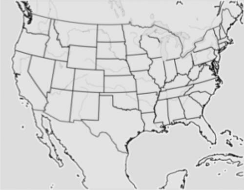
PLEASE HELPP Part 1 Use the data on the weather map from July 4, 2006 to create a weather map and a weather forecast for the next day. Include the locations of fronts, highs, lows, and precipitation. Use these forecasting tips to create the weather maps: If there is a lot of water vapor in the air and a cold front is approaching, precipitation is most likely on its way, too. A change in air pressure means there will most likely be a change in weather. Falling air pressure generally means rain. Rising air pressure generally means clearing skies. Air masses and fronts generally move west to east. Use these tips to create a written forecast: Write as if you are a weather forecaster explaining the forecast to a viewing audience. Explain the weather maps. Describe changes in pressure, temperature, and precipitation. Weather Map: July 5, 2006 (Attached) Forecast: July 5, 2006 Apprentice Self-Evaluation Evaluate your own work by answering these questions. What was most challenging about forecasting the weather? How did this project prepare you to be a real meteorologist? What do you need more practice doing before you are promoted to entry-level meteorologist? Part 2 Create a Map Obtain or draw a map of your state or area. (AREA - Euless, STATE - TX) Describe the geography of the area. Draw the geographical features of your area. Geographical features can include, but are not limited to, the following: Mountains Large bodies of water such as the Great Lakes, oceans, or bays Plains Remember to submit your map with the assignment. Data Collection For ten days, record the temperature, air pressure, precipitation, and wind speed/direction for your area. Data Analysis Analyze the weather data and map to answer the questions. What weather patterns are present in your area? How do the geography and geographical features of your area affect the temperature? How do the geography and geographical features of your area affect the precipitation? How do the geography and geographical features of your area affect the weather in the area?

Answers: 3


Another question on Geography
Geography, 22.06.2019 19:30
Which of the following is a way that advancements in technology improve humans' ability to measure air quality and protect human health?
Answers: 2
Geography, 22.06.2019 21:00
Impressions of tropical swamp plants were observed on rocks in polar regions. the impressions were dark black imprints, which means the fossils are examples of ( 1 ) the fossils tell us that polar regions ( 2 ) ( 1 ) a. carbonization b. mineralization c. trace fossils ( 2 ) a. had tropical plants that can grow in ice b. might have had a diffierent climate in the past c. will have abundent vegitation
Answers: 1
Geography, 22.06.2019 23:00
Lines of longitude are like stripes from the top of the globe down to the bottom virtually slicing the earth like an orange
Answers: 2
Geography, 23.06.2019 01:00
Agricultural practices in the united states nearly led to the extinction of the peregrine falcon during the 1950s and 60s.
Answers: 1
You know the right answer?
PLEASE HELPP Part 1 Use the data on the weather map from July 4, 2006 to create a weather map and a...
Questions

Social Studies, 05.05.2020 06:06


Biology, 05.05.2020 06:06

History, 05.05.2020 06:06
Mathematics, 05.05.2020 06:06

Mathematics, 05.05.2020 06:06
English, 05.05.2020 06:07

Health, 05.05.2020 06:07
Mathematics, 05.05.2020 06:07
English, 05.05.2020 06:07


