
Geography, 30.07.2019 00:30 KennyMckormic
On climate maps such as the one above, color is most likely used to represent a. longitude and latitude b. population and migration c. temperature and weather d. political boundaries
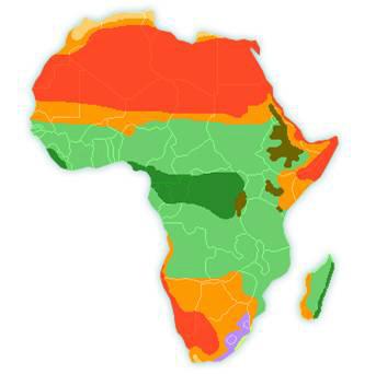

Answers: 2


Another question on Geography
Geography, 22.06.2019 01:30
Aempty box is shaped like a rectangular prism the box has a base area of 9/10 square foot and a height of one-third foot how much packaging material is required to fill the box is it
Answers: 1
Geography, 24.06.2019 01:00
These are the abiotic factor or biotic factors that restricts the numbers, reproduction, or distribution of organisms.
Answers: 3
Geography, 24.06.2019 02:30
What is most often given a value of zero to describe an object’s position on a straight line? displacement reference point distance ending location
Answers: 1
You know the right answer?
On climate maps such as the one above, color is most likely used to represent a. longitude and lati...
Questions

Mathematics, 28.01.2020 03:31
Mathematics, 28.01.2020 03:31

History, 28.01.2020 03:31

English, 28.01.2020 03:31

Biology, 28.01.2020 03:31
Mathematics, 28.01.2020 03:31
Mathematics, 28.01.2020 03:31

Physics, 28.01.2020 03:31
Mathematics, 28.01.2020 03:31

Computers and Technology, 28.01.2020 03:31
Mathematics, 28.01.2020 03:31


